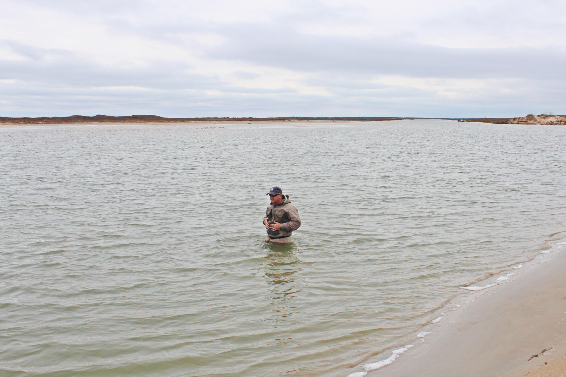
Cedar Bayou after Six Months

Photo by Lisa Laskowski.
It's been six months as this article is written that Cedar Bayou and Vinson Slough have been open and flowing to the Gulf of Mexico. I made a trip on March 10, 2015 to check things out and spent a good bit of time walking both Cedar Bayou and Vinson Slough channels. It had been some time since my last visit and was curious to see how everything looked after several strong northers and a few good high tides. Overall in my opinion, Cedar Bayou and Vinson Slough were in better shape than they were the last time I had been to the site. There was good flow in both channels. The following are my most recent observations and we should all keep in mind that the system is very dynamic and changes continuously. This report will be at least six weeks past when you read it.
Cedar Bayou is once again drawing recreational fishermen on a daily basis and at times the fishing has been phenomenal by reports received. Please remember to obey the navigation rules and stop where the signage indicates you must stop and walk to the beach front. The channel is not a designated navigable channel and has been declared a fish pass by Texas Parks Wildlife Department for generations. Spring is here and the temperatures are rising, so be sure to watch for snakes as you make your way to the beach. Lastly, if you pack it in, pack it out. It has been frustrating at times to see the trash that has been left behind by some, so please respect the area and respect the resource.
- The point in the bayou from where it necks down (area where excavation began through solid dunes) to Vinson Slough seems to be stable in depth since the original silting occurred closer to Vinson Slough. I feel this area has been stable for some time now and in talking with the project engineers they feel the same.
- The bayou has obviously moved south as per Coast & Harbor Engineering's (CHE) last report in January 2015 to Aransas County's Judge Mills. The mouth has moved approximately 400 feet to the south in 75 days (historical movement has been 265 ft/year average). On this trip, I could see "bank cutting" on the large spit at the mouth on the Matagorda Island side, as if the bayou was taking some of the spit back out and widening out.
- I would say where the main channel (the deep section) necks down and hits the surf is probably 60 to 80 feet wide, maybe a little more. I walked the edge and it would immediately go to stomach/chest deep and the current was ripping so I did not attempt to wade across. There was very significant flow. I tried crossing at several spots and it would be stomach to chest deep back up towards the mouth of Vinson. I never did walk all the way across, but friends with me did just to the surf side of the mouth of Vinson and it was roughly chest deep on a tall man. On a subsequent visit roughly two weeks later, I walked across the mouth just past a line with the beach front and the water was thigh to stomach deep with a very strong out-going tide. As you walked inland from this line the water depth quickly began to deepen to chest high.
- Vinson has considerable amounts of sand as we have seen, but I felt it was in better shape than last time I had been to the site. There are two primary narrow guts from Cedar into Vinson ranging in depth from knee to waist deep on this day. Water was flowing across more, just shallow, from ankle to calf deep. There was a considerable amount of outgoing current in the main gut and I walked it all the way until it emptied into the wide part of Vinson headed to the back lakes. Again, lots of flow and I feel in better shape than last time I was out.
Cedar Bayou is once again drawing recreational fishermen on a daily basis and at times the fishing has been phenomenal by reports received. Please remember to obey the navigation rules and stop where the signage indicates you must stop and walk to the beach front. The channel is not a designated navigable channel and has been declared a fish pass by Texas Parks Wildlife Department for generations. Spring is here and the temperatures are rising, so be sure to watch for snakes as you make your way to the beach. Lastly, if you pack it in, pack it out. It has been frustrating at times to see the trash that has been left behind by some, so please respect the area and respect the resource.


